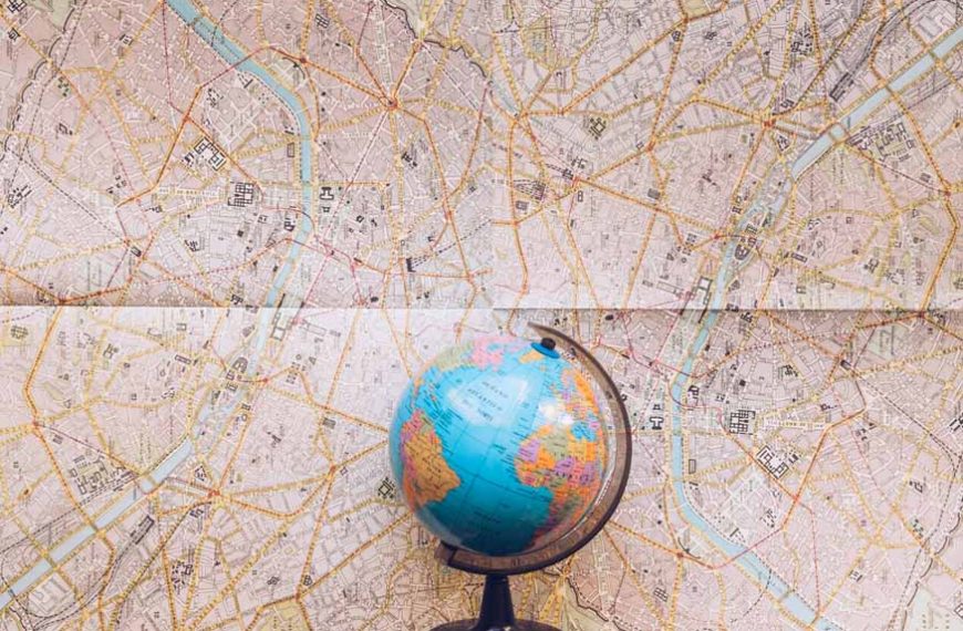
Globes and Maps: Two popular tools come to mind to represent the Earth and its geographical aspects. They are the most effective educational tools for grasping the world we live in, but both of them have different qualities and functions. Globes show the shape of the Earth in three-dimensional form, whereas maps show the Earth’s surface in two-dimensional form. In this blog post, we delve into the contrasts, commonalities, and unique benefits offered by globes and maps.
What is a Map?
Maps are visual representations or diagrams of an area or a space, typically on a flat surface such as paper or a digital screen. They provide a detailed and scaled depiction of geographical features, landmarks, roads, and other elements within a specific region. It illustrates political boundaries, topographical features, and spatial interactions using a variety of symbols, colours, and lines.
They are commonly used for navigation, understanding relationships, and gaining information about the layout of a particular area. They can vary in scale and purpose, ranging from world maps that show continents and countries to detailed street maps used for local navigation. Maps serve as valuable tools for orientation, exploration, and communication of geographic information.
Advantages of Maps:
- Portability and Convenience:
- Specialised Projections:
- Ease of Detail:
Maps are inherently more portable than globes, making them practical for navigation, fieldwork, and everyday use.
Different map projections cater to specific needs, such as preserving area, distance, or direction, allowing cartographers to choose the most suitable representation for their purpose.
Maps can provide intricate details of a particular region, city, country, continent, or theme. This makes them essential tools for urban planning, regional analysis, and thematic mapping.
What is a Globe?
A globe is a three-dimensional, spherical representation of the Earth as a celestial body. It represents the planet as it appears in reality, with lines of longitude and latitude accurately reflecting the true relationships between different locations.
They are often used as educational tools to help people understand the Earth’s geography, including its continents, oceans, and various countries. They offer a holistic view of the world, allowing individuals to observe the spatial relationships. Globes can vary in size, from small desktop versions to larger, more detailed representations used for educational and reference purposes.
Advantages of Globes:
- Global Perspective:
- Educational Value:
- Durability:
A globe allows users to view the entire Earth at once, promoting a holistic understanding of the planet’s geography and spatial relationships.
Globes are valuable educational tools, aiding in the comprehension of concepts such as latitude, longitude, and the Earth’s axial tilt.
High-quality globes are often made with materials that will last for a long time, ensuring their durability and usefulness.
Similarities Between Globe and Map
- Geographic Information:
- Reference Points:
- Educational Tools:
- Navigation and Orientation:
- Continual Updates:
Globes and maps convey a wealth of geographic information, including political boundaries, topography, rivers, mountains, and other relevant features. This information is crucial for understanding the world’s diverse landscapes and human settlements.
Both tools provide reference points for locating specific places on the Earth’s surface. Whether it’s finding a city, country, or natural landmark, globes and maps serve as guides for comprehensive learning.
Both globes and maps are widely used as educational tools in schools, universities, and other learning environments. They help students grasp concepts such as geography, cartography, and spatial relationships, facilitating a deeper understanding of the world.
Whether used for educational purposes or practical navigation, both globes and maps aid in understanding directions, distances, and the relationships between different locations. They are invaluable tools for navigation, exploration, and understanding global connectivity.
Both globes and maps require periodic updates to reflect changes in the Earth’s geography, such as alterations in political boundaries, demographic shifts, or environmental changes. This ensures the accuracy and relevance of the information they convey.
5 Key Differences Between Globe and Map
Aspects |
Globe |
Map |
|
Representation |
Three-dimensional, spherical model of Earth |
Two-dimensional representation on a flat surface |
|
Portability |
Less portable due to its physical size and shape |
Highly portable, making it convenient for navigation, fieldwork, and everyday use |
|
Interactive Learning |
Provides a hands-on, interactive experience, allowing users to rotate and explore the entire Earth |
While less interactive, maps offer a wide range of topics and details, making them suitable for specific studies and analyses |
|
Specialisation |
Limited in terms of specialised projections |
Various map projections cater to specific needs, allowing for the preservation of different attributes such as area, distance, or direction |
|
Global Perspective |
Allows users to view the entire Earth at once, promoting a holistic understanding |
Focuses on specific regions or themes, providing detailed information but forsaking a global view |
What are the Advantages of Maps Over Globes?
Maps offer distinct advantages over globes, primarily in terms of their portability, customization, and practicality. Globes are made of rigid materials and cannot be folded, making them difficult to carry. Maps, however, are simple to fold up and transport. A map can be used to find your way between locations. Globes, however, don’t offer enough accurate data that can help in navigating.
With the advent of digital technology, maps have become even more accessible, offering interactive features, real-time updates, and integration with Geographic Information System (GIS) tools, further solidifying their role as indispensable tools in the fields of geography and cartography.
What are the Advantages of Globes Over Maps?
Globes help you to grasp the visual representation of the Earth as compared to a globe, which allows you to comprehend every location – including cities and rivers – and even helps in the understanding of an accurate mental map of our planet whereas maps only display two-dimensional lines and pictures.
A globe allows users to view the entire Earth at once, promoting a holistic learning of the planet’s geography. They are advantageous educational tools, especially for grasping concepts like latitude, longitude, and the Earth’s axis. Their three-dimensional nature allows for hands-on, interactive learning experiences, enhancing comprehension.
Summing Up!
Both maps and globes are distinct tools for representing the Earth’s geography, each with its unique characteristics. While globes excel in accuracy and global perspective, maps offer portability and specialisation. The choice between the two depends on the specific needs of the learners. Awareness of the differences between maps and globes enables us to select the best tool for a given task and expand the knowledge base of the Earth’s geography.
Speaking of exploration and understanding, EuroKids is a leading play school dedicated to nurturing young minds. EuroKids provides a holistic and interactive learning environment for children, promoting their curiosity and cognitive development through educational tools and a unique academic approach. Give your child the gift of a vibrant and enriching educational experience.
Contact us today to enrol your child in EuroKids and set them on a path filled with curiosity, creativity, and endless possibilities.
Frequently Asked Questions
Q1. What is the purpose of maps and globes? Maps and globes serve the purpose of representing the Earth’s surface, providing a visual tool for navigation, education, and understanding geographic features.
Q2.What are the main differences between globes and maps? A globe shows the world on a sphere that revolves on an axis, whereas maps depict a geographical region on paper. Globes are three-dimensional, but maps are two-dimensional.
Q3. How do digital maps differ from traditional paper maps? Digital maps offer real-time updates, interactive features, and the ability to customise information, providing a more dynamic experience.
Q4. Why do some maps have political boundaries, and others do not? Maps can be tailored for specific purposes. Political boundaries may be included to emphasise geopolitical information, while others may focus on physical features or thematic data.
Q5. What are the advantages of using a globe for learning geography? Globes provide a more accurate representation of the Earth’s surface, making it easier to understand spatial relationships, distances, and the true shape of continents.